0
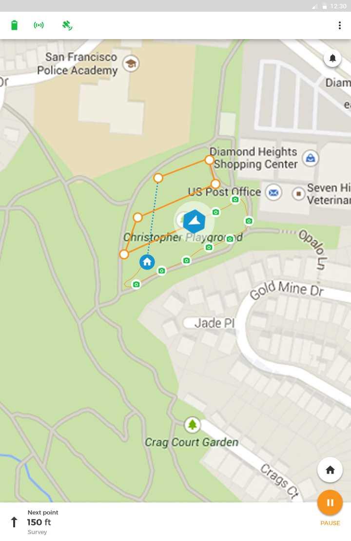
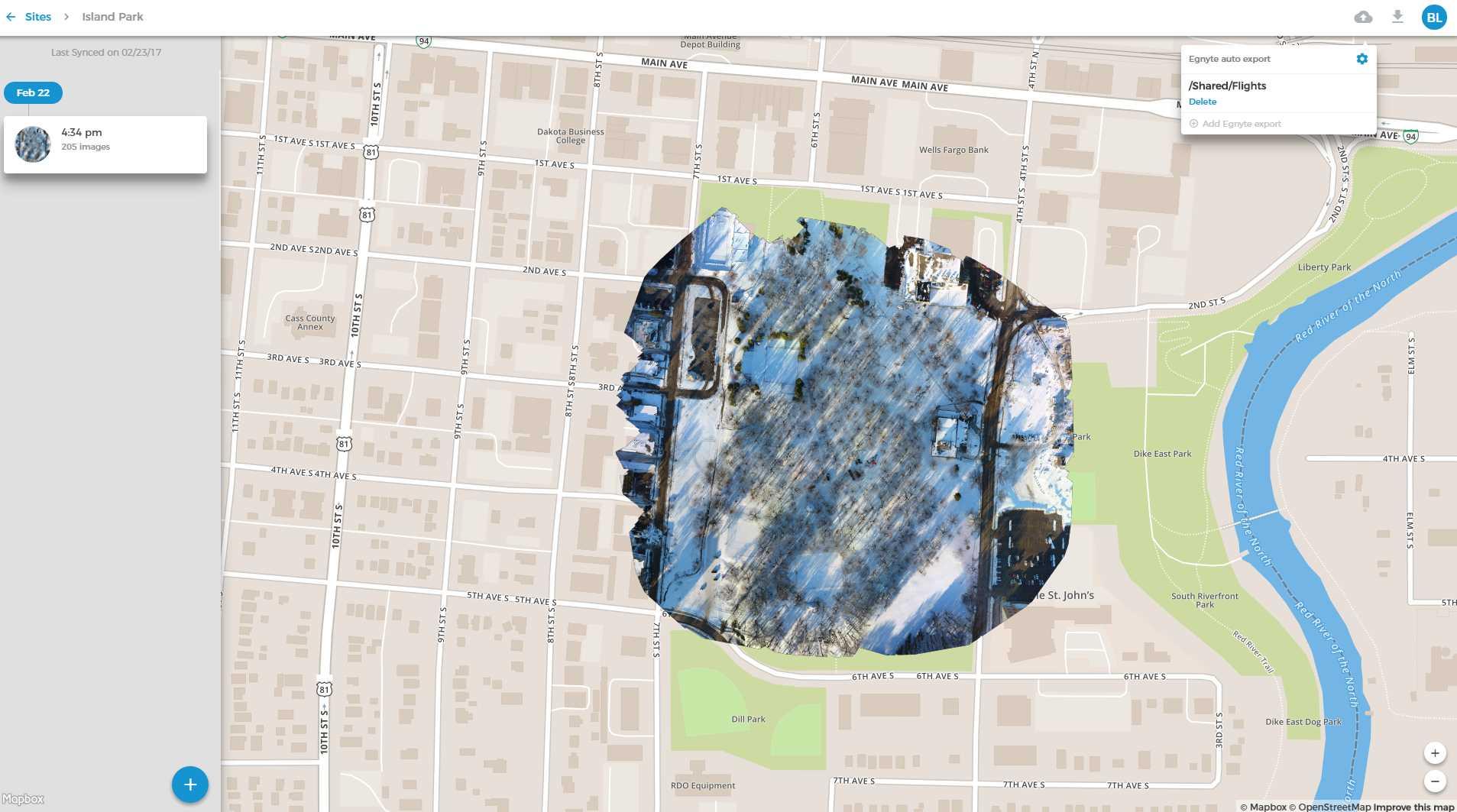
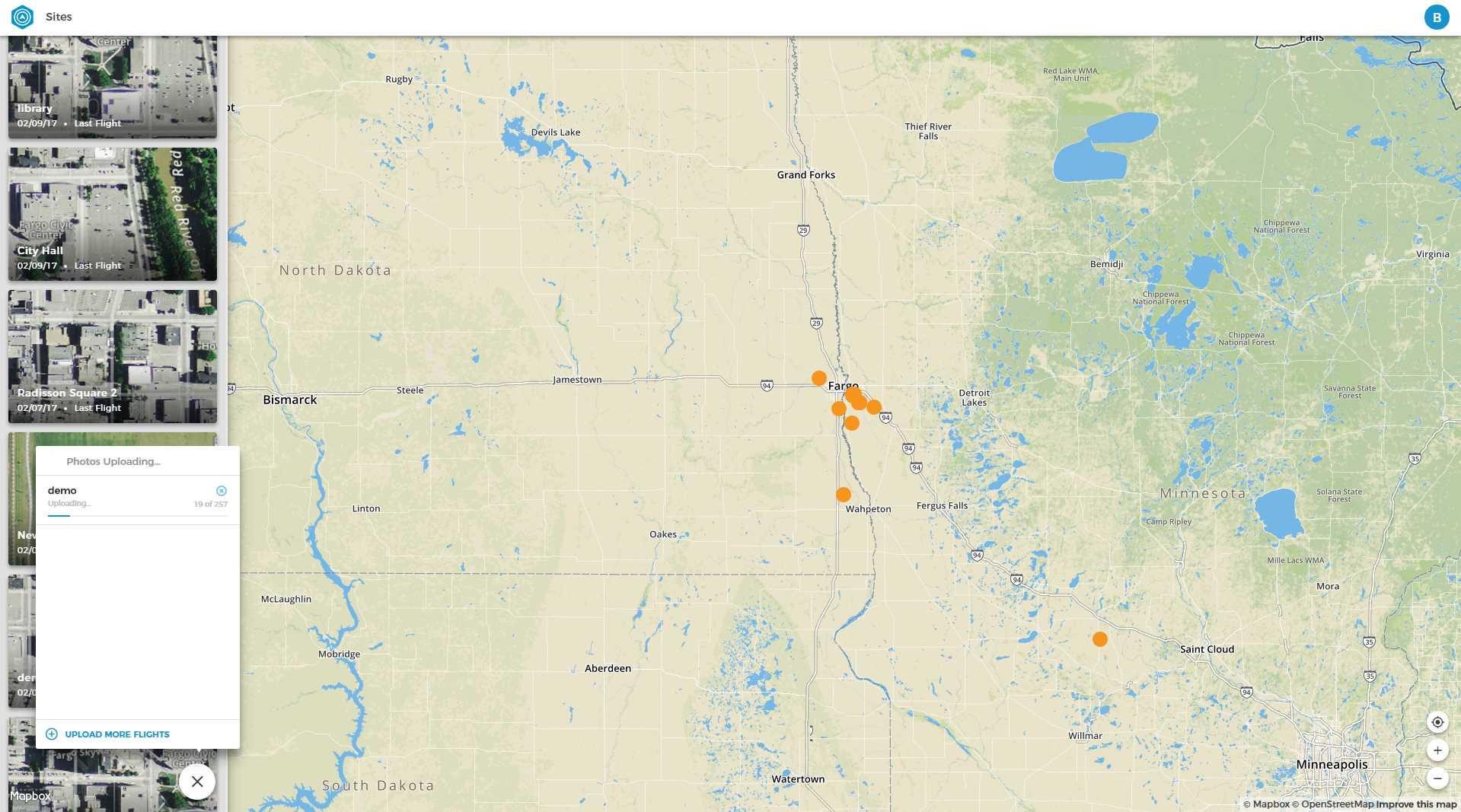
ボットリンクは、航空写真を収集して建設や農業で使用する最も簡単で信頼性の高い方法です。押すボタンが少なくなり、より直感的な飛行プロセスと信じられないほど使いやすい空中マッピングエクスペリエンスにより、複雑なシステムの学習に費やす時間を減らし、実際の作業を行う時間を増やすことができます。航空地図が作成されると、Botlinkは自動的に画像をProcore、Egnyte、およびその他の業界固有のソフトウェアと同期し、ドローンデータをいつでもどこでも使用できるようにします。...DJI Phantom 3 Pro、Phantom 4をサポート、Phantom 4 Pro、Mavic Pro、Inspire 1 v2、Inspire 1 Pro、Matrice 100。
ウェブサイト:
http://www.botlink.com特徴
カテゴリー


ライセンスのあるすべてのプラットフォームでのBotlinkの代替
14
Agisoft Metashape
Agisoft Metashapeは、デジタル画像の写真測量処理を実行し、GISアプリケーションで使用する3D空間データを生成するスタンドアロンソフトウェア製品です...
5
5
0
0
Maps Made Easy
Maps Made Easyは、ユーザーが航空写真をアップロードし、画像をステッチし、作成した地図をホストできるWebアプリケーションです。
- 有料アプリ
- Self-Hosted