2
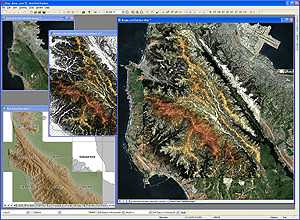
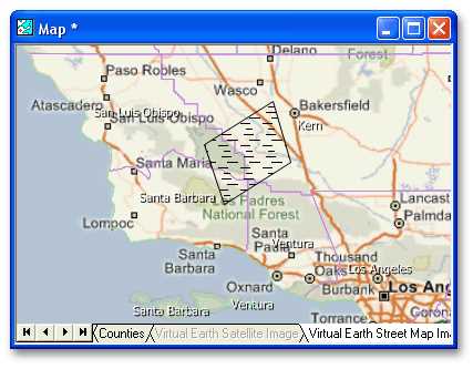
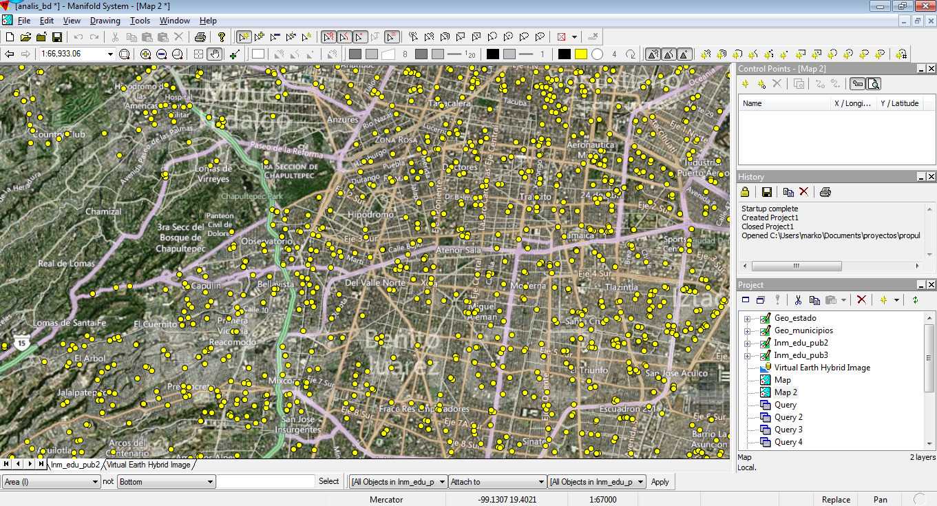
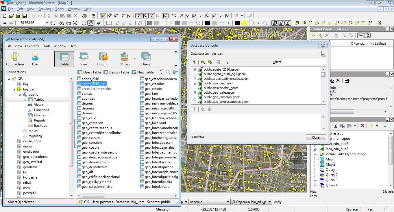
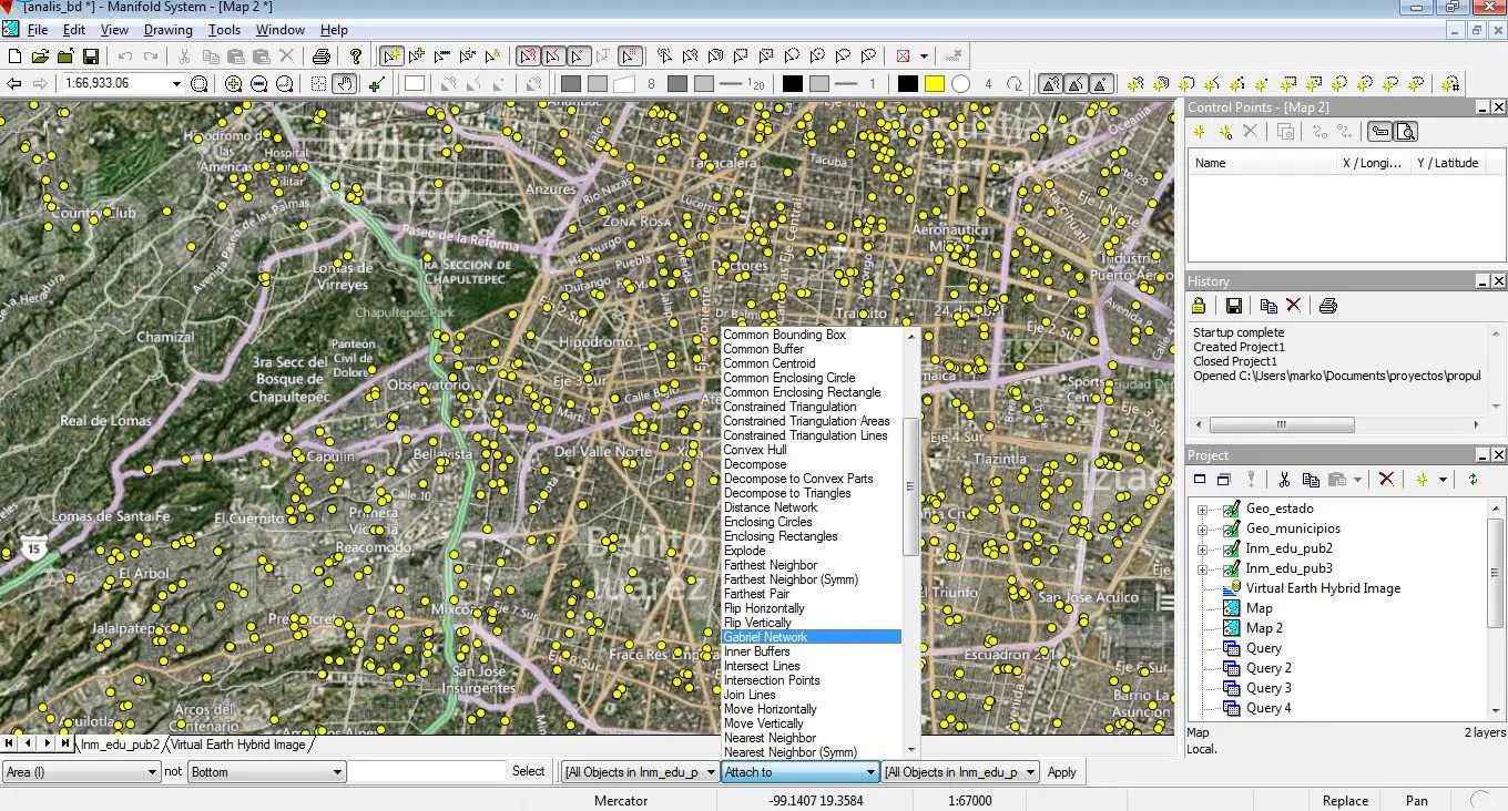
マニホールドGISは、マッピング、CAD、DBMS、画像処理の組み合わせです。GISの特徴は、視覚的なインターフェイスを使用して、従来の行と列のDBMSテキスト表示では理解できないデータを表示、取得、分析、操作、および変換することです。多くの人がマニフォールドを使用してプレゼンテーション用の優れた魅力的なマップを作成しますが、マニフォールドのユニークな力は、個人データから最大で最も洗練されたエンタープライズクラスのデータベースまでのデータベースで可能になるビジュアルコンピューティングにあります。Google Earthプロのような限定的なマッピングツールの価格よりもはるかに低い価格で、Manifoldははるかに多くの機能を提供します。
ウェブサイト:
http://www.manifold.net/特徴
カテゴリー
ライセンスのあるすべてのプラットフォームでのManifoldの代替
79
23
22
12
ArcGIS
ArcGISは、地理データを視覚化、管理、作成、分析するための地理情報システム(GIS)ソフトウェアです。
8
5
gvSIG Desktop
gvSIGは、地理情報システム(GIS)、つまり、あらゆる種類の参照地理をキャプチャ、保存、処理、分析、および展開するために設計されたデスクトップアプリケーションです。
5
4
4
MapInfo Professional
MapInfo Professionalは、Pitney Bowes MapInfoの強力で機能豊富なデスクトップマッピングアプリケーションです。組織が抱えるビジネス上の問題を解決できるように設計されています...
- 有料アプリ
- Windows
3
Spatial Feature Server
MapETのSpatial Feature Serverは、ESRI Geoservices REST実装であり、すべてのESRI Rest APIで動作します。パブリッシュされたデータのソースは、Oracle、Microsoft SQLServer、MySQL、PostgreSQLなどの主要なRDBMSの空間拡張です。
- 有料アプリ
- Windows
2
2
Geoconcept
GEOCONCEPTソリューションは、地理データの力を最大限に活用したいユーザーの期待に応えるために、何よりもまず設計されました。
- 有料アプリ
- Windows
- Web
- Self-Hosted
1
Spotzi Mapbuilder
Spotziは、無料でお試しいただける企業/専門家向けの使いやすいオンラインGIS /データマッピングプラットフォームです。短い学習曲線で、人々はすぐにデータからマップを作成することから始めることができます。Spotziには、既製の地図とデータを備えたデータショップもあります。
- フリーミアムアプリ
- Windows
- Mac
- Linux
- Android
- iPhone
- Windows Phone
- iPad
- Android Tablet
- Windows S
- Web