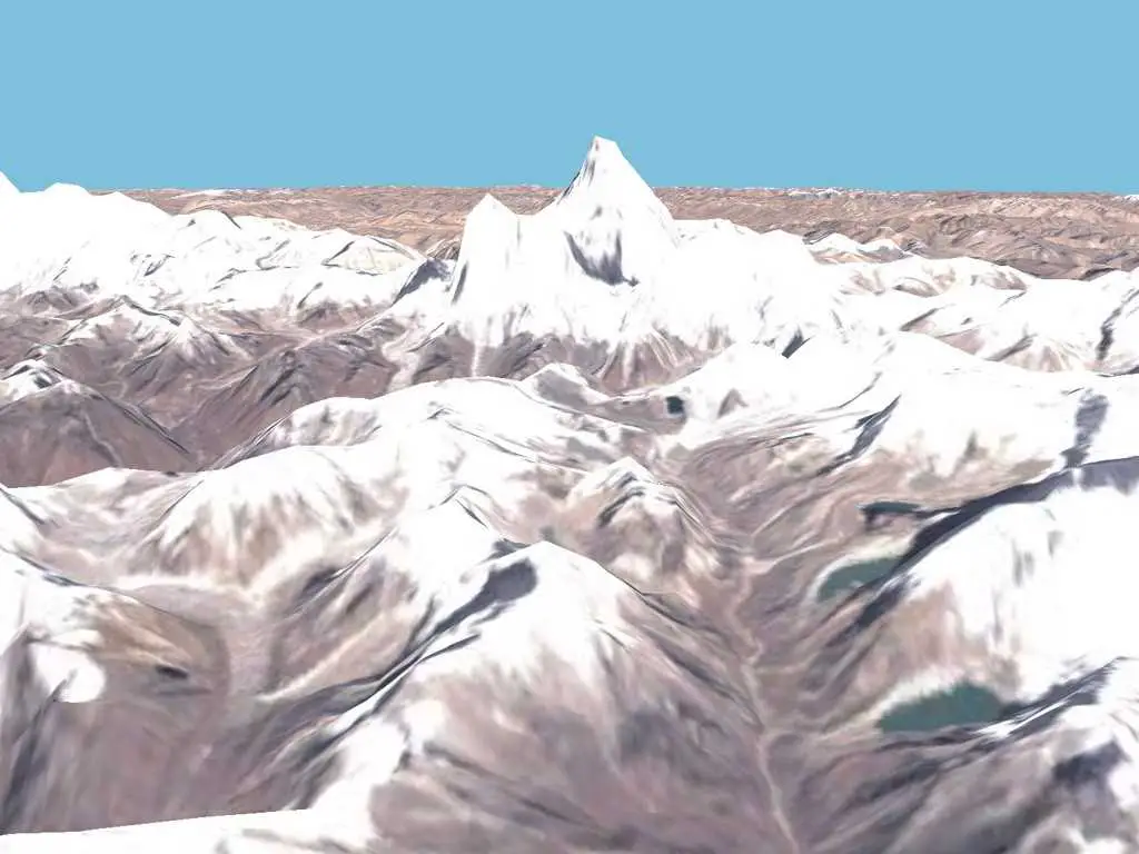
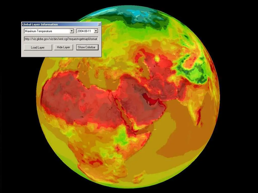
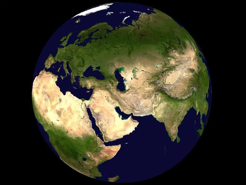
World Windを使用すると、衛星高度から地球上の任意の場所にズームできます。Landsat衛星画像とシャトルレーダートポグラフィーミッションデータを活用して、World Windでは、まるでそこにいるかのように、視覚的に豊かな3Dで地球の地形を体験できます。世界のあらゆる場所を事実上訪問します。アンデス山脈、グランドキャニオン、アルプス山脈、またはアフリカのサハラ川に沿って眺めます。
ウェブサイト:
http://worldwind.arc.nasa.govカテゴリー
WebのNASA World Windの代替
3
2